(This blog is about my experiences working and living aboard a 220’ treasure hunting ship, the M/V Sea Hunter)
In my last post I talked about how Greg and the crew of the M/V Sea Hunter will do whatever is necessary to complete the salvage efforts of the Port Nicholson. And that takes persistence and dedication.
It’s the start of their fifth season and once again, those that have little or no knowledge of what is takes to work a ship wreck that is lying 650’ on the ocean floor start asking the same questions. Why is it taking so long? If I had a dollar for every time someone asked me that question or one similar, I’d be rich. I have to stop and remind myself that they mean well, they just have no idea what is involved in salvaging a shipwreck. So for those that really want an answer, this is my abbreviated response.
Salvaging shipwrecks, especially in deep waters is extremely difficult. It is both time consuming and expensive. The first step is obtaining credible data from an expert researcher regarding the location of the wreck. Using the information from the research (like where it’s located and the general conditions of the area), the company must then figure out what type of equipment is needed to do the job. You obviously need the right vessel, but also some specialized equipment, such as GPS, side scan sonar, magnetometers, rov’s and specialized dive gear (to name just some). These things do no come cheap.
Once the vessel is in the vicinity of the shipwreck with the help of GPS, they either use magnetometers and/or side scan sonar to survey the area and pinpoint the exact location. Sub Sea Research used sidescan sonar to locate the Port Nicholson. Side scan sonar is a way to get underwater images using beams of acoustic energy (sound) which is transmitted out to the side of the tow fish and across the bottom. The sound is reflected back from the bottom or objects on the bottom of the sea floor to the tow fish. It measures the strength of how “loud” the return echo is and paints a picture. Different objects reflect either soft or loud echoes. For instance, a rock would cause a stronger or louder return signal than a sandy area that is softer. Also, the loud areas show darker images. If an object is protruding from the ocean floor it can cast shadows in the sonar image where no sound hits. The size of the shadow helps to determine the object.
Image from ocean floor using sidescan sonar
Illustration of how it works
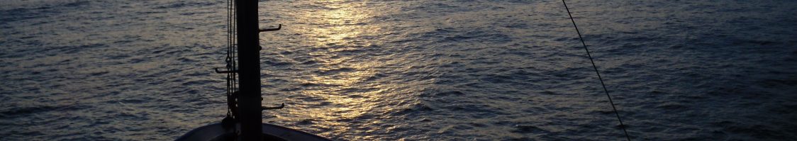
The crew deploying the sidescan sonar off the Son Worshipper
With the expert data in hand, Sub Sea Research headed out to locate the exact position of the Port Nicholson. Greg and the crew took the Son Worshipper and their 4100 sidescan-sonar system and headed to the vicinity of the site. They scanned day and night tracking the area. It can be very tedious work until you come across a hit and try and figure out what it is. They were finally rewarded when after approximately 3 ½ long months they finally located the Port Nicholson. That was an exciting moment for everyone involved, to have your hard work pay off. But, that is really just the beginning. It’s a short season in New England waters and that process took up the majority of that season. Then, it’s back to the drawing board to work out the next phase. That is to figure out a way to get inside the ship with a rov (remotely operated vehicle) and look around.
That, my friends is why it takes so long.
